Calilegua National Park Guide—How to Visit and FAQs


If you're a nature lover and hiking enthusiast, Calilegua National Park (Parque Nacional Calilegua in Spanish) is a true treasure trove. I liken Calilegua to a hiking oasis, and not to toot my own horn, but this comparison hits the nail on the head. The park basks in a tropical climate, mirroring a jungle environment, and yes, it genuinely looks like one too. Plus, there's tons of trails, offering ample opportunity to explore at your own pace. And as a cherry on top, this park is home to Argentina's highest population of jaguars, adding a potential thrill to your adventure.
Established in 1979, Calilegua National Park aims to protect the extensive Yunga regions. Yunga, an eco-region in the Andes of South America, is celebrated for its rich biodiversity, encompassing a vast array of ecosystems. Calilegua serves as a sanctuary for many flora and fauna, hosting an impressive biodiversity that includes endangered species like jaguars, tapirs, and a plethora of birds and reptiles. Yep, you read that right—jaguars. Feeling anxious? Let me give you a little spoiler alert: we essentially spotted zero animals in the park.
Enticed by the idea of wandering through tropical mountain forests, witnessing an array of endangered plant species, and seeing no animals? I totally get it... I've compiled all the essential information you need to know before visiting Calilegua in this article.
4 practical tips for visiting Calilegua NP
- You'll have decent cell reception and even internet access in the park, which is quite unusual for such remote locations—a real perk. So, there's no need to download offline maps.
- Don't forget your insect repellent. It's an absolute must in the park, teeming with mosquitoes and other bugs (hey, I guess we did see some animals afterall!). These critters can be a real nuisance, so take my word for it and come prepared.
- It might be obvious, but there are no restaurants or snack bars in the national park. So, choose a hotel with a good breakfast, fuel up in the morning, and make sure to carry plenty of water with you.
- I highly recommend combining your visit to Calilegua with a side trip to San Lorenzo Park. Mountains as high as 3,700 m (12,100 ft), covered in jungle—you won't see this anywhere else.
Find an awesome hotel Sometimes, all you need to do is take the first step... I've filtered out the best hotels in Salta Province for you
Save it for yourself to come back to later, or share with your friends on social media!
I've already planned your ititnerary for the trip, complete with my travel tips.
1. Where is Calilegua National Park?

Calilegua National Park in Jujuy
Calilegua National Park is in Jujuy province, northwest Argentina. The closest major city is San Salvador de Jujuy, Jujuy's capital, 115 km (71 mi) away, roughly a 1h 40min drive—easy peasy. From Salta, the national park is 163 km (101 mi) away, just under a 3-hour drive.
Tip: I've included Calilegua NP in my list of 11 top things to do and see in Jujuy and Salta. Check it out for other must-visit spots in the area.
If you're heading out from Salta, let me recommend a fabulous hotel—MG Design Hotel Boutique. Just a stone's throw from Salta's center, this modern hotel boasts spacious rooms (because who likes cramped spaces, right?), a super friendly staff, and tasty breakfasts. Plus, there are several parking spots right in front of the hotel, a big plus if you're renting a car.
2. What is the size of Calilegua National Park?
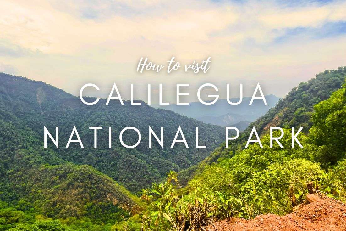
The size of the Calilegua National Park is 76,306 ha—it holds the title of the largest national park in northwest Argentina. Despite its considerable size, the park is just 23 km (14 mi) long and can be driven through in about 45 min. You might wonder why it takes that long to cover 23 km (14 mi). Well, it's not because I'm a terrible driver, but the road is winding and not the smoothest you'll ever experience. However, the rewards are worth it: the panoramas are truly grandiose. It's one of the top rainforests I’ve seen, with sharply defined mountains blanketed in dense jungle.
3. When to visit Calilegua NP?
You can visit Calilegua National Park throughout the year. You can... but the question is whether you want to. The ideal months for a visit are from May to October. This period corresponds to the dry season, which means no brutal downpours and pleasant temperatures. Although it can get really cold at night, the park is open daily from 8 am–7 pm, so that shouldn't bother you.
In the summer months (December to February), temperatures can easily soar up to 40°C (104°F). So, it's scorching hot and insanely humid; I wouldn't go there during those months.

In May, the temperature is ideal for a break in the pleasantly warm sunshine by the stream. In the forest, all you need is a light sweatshirt
4. How do I get to Calilegua National Park?
In my book, the best way to get to Calilegue NP is by car. Whether you're heading out from Salta or San Salvador, you're not tied to anyone else's schedule, and I reckon it's the simplest and most effective option.
If you're driving from San Salvador de Jujuy, expect about a 1.5-hour drive covering 115 km (71 mi). You'll reach the park via National Route 34, which is pretty smooth sailing, and believe me, you'd have to be an idiot to miss the park from the highway.

We drive a rental car and managed to see a lot of Calilegua National Park this way
From the city of Salta, it's a bit further, 163 km (101 mi), almost 3 hours by car, via National Routes 9 and 34.
Near the park, there are two "towns"—Libertador General San Martín and the town of Calilegua. If you ignore my advice and don't drive, you can take a bus from these towns. However, from Libertador General San Martín, the bus only runs at 8:30 am, so if you miss it, you're out of luck and will need to take a taxi. The same goes for the return trip; the only bus leaves at 7 pm. Just drive your own car. Period.
When you arrive at the entrance, I recommend visiting the information center. They're friendly and willing to provide all the information you need.
5. Is there an entrance fee for Calilegua NP?
Just like in other parks in the Salta and Jujuy area, entry here is also free. You don't even need a guide to visit the park. Well done, Argentina! As I mentioned before, you can easily drive through the entire park and just pick the hikes you want to tackle.
Pretty cool, right? No queues, no need to buy tickets in advance for a specific time, unlike at Iguazu Falls, which requires a bit more planning. Everything is relaxed here.
Tip: Speaking of Iguazu Falls, check out my 3-day itinerary. It covers both the Argentina and Brazil sides and gives you my reviews of all the activities there.
6. How long does it take to visit Calilegua NP?
You can easily spend 1–2 days visiting Calilegua National Park, depending on how keen you are on hiking. We spent one day there, picked two hikes, and then also visited San Lorenzo Park, which is 16 km (10 mi) from Calilegua Park. I highly recommend combining both parks into one visit.

Calilegua National Park is full of cool hikers
The mountains in San Lorenzo are definitely among the top sights I've ever seen and the views in are simply wow. There are 3 nice hikes, each about 20 minutes long, nothing extreme. The top pick for me is Fuente del Jaguar.
On the way to San Lorenzo, there are also the Termas del Río Jordán, natural pools with hot springs. (If you want to visit them, go on a weekend; otherwise, they're closed. Or at least that's what they told us, but maybe they just didn't feel like working because I found online that they should be open every day.)
7. What are the best trails in Calilengua NP?

You have so many options for how to discover this park!
As I mentioned, there are plenty of hikes in Calilegua, which I, the avid hiker that I am, really appreciate. Most of them are located at the park entrance or a few kilometers from it. The treks are quite short, expect about 1 to 1.5 hours each.
Here are my top picks for hikes in Calilegua:
Sendero Bosque del Cielo (Sky Forest Trail)
Hike length: 0.3 km (0.2 mi)
Elevation gain: 11 m (36 ft)
Difficulty level: Easy
Hiking time: 10 min
Trailhead: Google Maps link to trailhead
This “trek” located at the very end of the park requires you to drive through the entire park, which is 23 km (14.3 mi) long. Expect the drive to take about 45 minutes.
Sendero Bosque del Cielo is a circuit of about 1 km (0.6 mi) and, unlike the lower hikes, it's relatively humid and cool (I see that as a big plus). It's a completely different forest than the one below, reminding me of Monteverde in Costa Rica. And watch out, my girlfriend says there are lots of sneaky butterflies there that could bite her in the butt because she's scared of them.
Map of the shortest hike you will ever go on. See route details on Alltrails
Sendero La Junta
Hike length: 8 km (5 mi)
Elevation gain: 282 m (925 ft)
Difficulty level: Moderate
Hiking time: 2.5 hours
Trailhead: Google Maps link to trailhead
As I wrote a few paragraphs above, while the trails are generally short, that's not the case for this one. The terrain's pretty gentle, with some rocky sections here and there, but it's not excessively tough. What makes it challenging is the distance and the nearly 300-meter (930 ft) elevation gain in the humid climate—not exactly a cakewalk. Plus, you might encounter a few streams along the way, so expect some mud... definitely not the place for your brand-new hiking boots.
Let me be upfront: we didn't take this trek. First off, we only had one day in the park, and secondly, Sendero La Junta is an out&back trail—you trek 4 km (2.5 mi) one way, then turn around and hike the same 4 km back. But if you're planning to spend two days in Calilegua, I'd say this trail should be on your list. You've got a good shot at encountering some wildlife, making it a potentially rewarding experience.
Map of quite challenging Sendero La Junta hike. See route details on Alltrails
Sendero La Lagunita
Hike length: 2.5 km (1.5 mi)
Elevation gain: 200 m (656 ft)
Difficulty level: Moderate
Hiking time: 1 hour
Trailhead: Google Maps link to trailhead
The hike is roughly an hour, but in the heat, it becomes pretty challenging. Although the sign at the start says it takes 2 hours, you'd have to be moving at a snail's pace to take that long. Over a distance of 2.5 km (1.6 mi), you'll climb an elevation of 200 m (656 ft). At the end, you'll reach a small river, but think of it more as a safari where you might (or might not) see some intriguing animals: snakes, spiders, and especially birds. There are really a lot of birds here, and they're interesting, but come on, who wants to see birds when you could potentially see a jaguar?!
There's always something to look at; the jungle is breathtaking. And that's true for all the hikes, not just this one.
El Negrito Trail
Hike length: 2.7 km (1.67 mi)
Elevation gain: 313 m (1.027 ft)
Difficulty level: Difficult
Hiking time: 1.5 hours
Trailhead: Google Maps link to trailhead
This hike is among the more difficult ones. If you're not really experienced, I wouldn't recommend setting out without a guide. The terrain on this one is challenging.
It's helpful that there's a sign before each hike indicating the distance, time, and most importantly, the difficulty level. It gives you some guidance when deciding which hike to choose and which one to skip.
Map of El Negrito Trail in Calilegua NP (only for big boys!). See route details on Alltrails
8. What is the climate like in Calilegua NP?
The climate in the park is predominantly subtropical, meaning it's hot and humid. On average, the park receives about 1,800 mm (70 in) of rainfall annually. The wettest months are from November to April when it practically pours buckets here.
Average temperatures in the winter months (June–August) hover around 17°C (62.6°F), while in the summer (December to February), they average at 28°C (82.4°F). But as I've mentioned before, summer temperatures can easily hit a scorching 40°C (104°F)—and trust me, you don't want to be there when that happens.
9. What animals can you see in Calilegua National Park?
Calilegua NP is home to a bunch of endemic and endangered animal species. So, if you're keen on spotting some wildlife, this place offers a unique opportunity. At least, that's what the guidebooks say. As you know, we didn't encounter a single creature during our entire visit, except for those scary butterflies.

You can meet these fellas in Calilegua National Park. We did not. We wore hoodies...
The park is home to 200 of Argentina's total 300 jaguars. And that's not all—besides jaguars, you might also encounter pumas, tapirs, ocelots, capybaras, foxes, various snakes, toads, and over 400 bird species, among other animals. Hopefully, you'll have better luck than we did.
Here's a funny safety tip: If you're worried about a jaguar attack, wear a hoodie. It supposedly works as chainmail armor... or so my girlfriend claims. I'm not sure how a jaguar would react to it, and I luckily didn’t get to try it out firsthand. In 37°C (99°F) heat, the jaguar might just think, "Hmm, looks like chainmail. I have no energy to mess with that."

Scaring off predators with a hoodie!
One thing you won't miss out on is the diverse flora. There are over 2,000 plant species here, and it's simply breathtaking. It's like a jungle where five new trees sprout from each one, and everything is lush and green.
10. What is the meaning of the name "Calilegua"?

That’s all from our unforgettable journey to Calilegua National Park aka “the Sacred Land”
The word "Calilegua" doesn't originate from Spanish, but from the indigenous Quechua language. It combines two words: "cali," meaning "sacred" or "holy," and "legua," a unit of length. So, a somewhat loose translation of Calilegua is "sacred land" or "holy territory." The name likely reflects the area's significance to its original inhabitants.
The indigenous people of this region were various tribes that lived here before the arrival of Europeans. These included ethnic groups like the Quechua and Aymara, as well as other indigenous tribes from the Yungas area in northwestern Argentina. These tribes lived in harmony with nature, utilizing the environment's resources for sustenance and developing their cultures and ways of life until the 15th century when Spanish conquerors arrived.
Find an awesome hotel Sometimes, all you need to do is take the first step... I've filtered out the best hotels in Salta Province for you
Save it for yourself to come back to later, or share with your friends on social media!
I've already planned your ititnerary for the trip, complete with my travel tips.
You might also be interested in reading:
The best 2-week itinerary for Argentina
Patagonia Travel Guide: 7 Days of Exploring El Chaltén and El Calafate
How to plan a trip to Iguazu Falls (3-day plan)
12 epic day hikes in Argentina of all difficulty levels
27 fun facts and travel tips for Argentina
This post contains affiliate links. I earn a small commission if you make bookings through my links, at no additional cost to you. Thank you for your support!


Comments | Thoughts? Give us a shout!